Go to the Information page to download a panoramic map of all main services in Palmanova.
Ciclovia Alpe Adria Ragweg (CAAR)
From Salzburg to Grado by bicycle
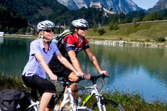
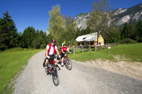
 The Ciclovia Alpe Adria Radweg (CAAR) project is an example of cross-border cooperation
for the development of sustainable mobility, it stems from the common will of the three participating
regions (Friuli Venezia Giulia Region, Salzburg and Carinthia) to identify a cross-border cycle route,
which by joining Salzburg and Villach, Udine, Aquileia and Grado will overcome the physical
boundary formed by the Alps and achieve a direct link between the central European cycle route network
and the Adriatic Sea.
In one week from Salzburg to Grado - The route leads us from Salzburg (elev. 425 m) through the Salzachtal and Gasteinertal valleys to Böckstein. From here we take an 11-minute train ride to Mallnitz (1,191 m), before biking again from Carinthia via Spittal a. d. Drau, Villach and Arnoldstein to the Austrian-Italian border. Now on Italian soil, the route leads us – occasionally along abandoned railway lines – via Tarvisio, Gemona, Udine and Aquileia to Grado on the Adriatic Sea.
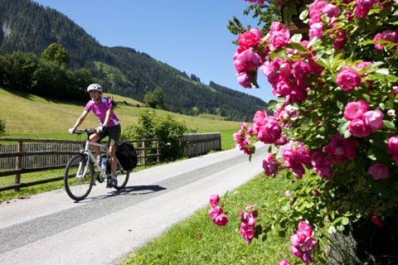
Our companions along the way are idyllic towns, imposing sights and magnificent natural landscapes. The route has been identified in a path that allows the viability in short term, thanks to the long distances of cycle paths and the possibility to use secondary roads with reduced intensity of motorized traffic for the other traits.
This project won the tender issued by the European Cross-border Cooperation Program and has as the lead the Friuli Venezia Giulia Region and as partners the Province of Udine with the provinces of Salzburg and Carinthia and their corresponding Tourist Boards.
The circuit shown in the maps traces what is now the Ciclovia Alpe Adria Radweg (CAAR), from the pass of Coccau to Grado, now called FVG 1 in Italy.
[From websites: Ciclovia Alpe Adria Radweg - Official Website // Province of Udine website (Italian)]

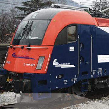
They are the ideal complement for the Ciclovia trail, as they permit the transport of bicycles.
- Ciclovia Roadbook - English (PDF*) - 51.2 MB
- Ciclovia Roadbook - German (PDF*) - 51.2 MB
- Club Bike Experience - English (PDF*) - 2.9 MB
- Micotra schedule and tariffs - German and Italian (PDF*) - 3.9 MB
- Ciclovia Roadbook (Italian) – (PDF*) – 8.9 MB
- Ciclovia Roadbook (Italian) – High Resolution (PDF*) – 51.2 MB
- Club Bike Experience - Italian (PDF*) – 2.9 MB

Furthermore, we suggest you to visit the following websites:
- Official website of Ciclovia Alpe Adria Radweg
- Friends of Ciclovia Alpe Adria Radweg
- Ciclovia Alpe Adria Radweg on Italy Cycling Guide
- Tourism in Austria - Official Website
- Bike in Austria (Radtouren in Österreich)
- Railways Udine/Cividale - Micotra Project (italian)
- Province of Udine website - Ciclovia (Italian)
- FVG Region - Cycle path (Italian)
Altre Attività a Palmanova
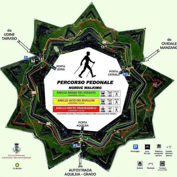
The main tourist itineraries in Palmanova are in the Parco Storico dei Bastioni, which was opened in 2013. It is the ideal place for jogging, Nordic Walking – walking using specially designed walking poles similar to ski poles – and mountain bike rides.
The Park lies outside the city and runs along the city walls which date back to the Napoleonic and Renaissance period, making Palmanova a fortress-city with a unique shape where tourists can exercise surrounded by nature and history.
Jogging / Nordic Walking
The Parco Storico dei Bastioni is the main jogging and “Nordic Walking” area.
Information panels located along the routes show the time required to complete the circuit for Nordic walkers, families with children, or adults.
The tracks are well marked and include: the mixed panoramic ring (6 km) which unwinds along the entire ring; the lower moat ring (4 km) and the upper ravelin ring (4,3 km).
Cycle tracks
We particularly recommend the The “Parco Storico dei Bastioni” cycle track: an 8 km itinerary for mountain bikes.
Other tracks recommended for cyclists are listed in the link below:
Cycle TracksItalian website
Maps with itineraries are available from the Tourist Information Center of Palmanova located in the same street as our Guest House at: Borgo Udine 4.
Go to the Information page to download a panoramic map of all main services in Palmanova.

